Nabetsuru Rock
A Natural Arch Rising from the Blue Sea
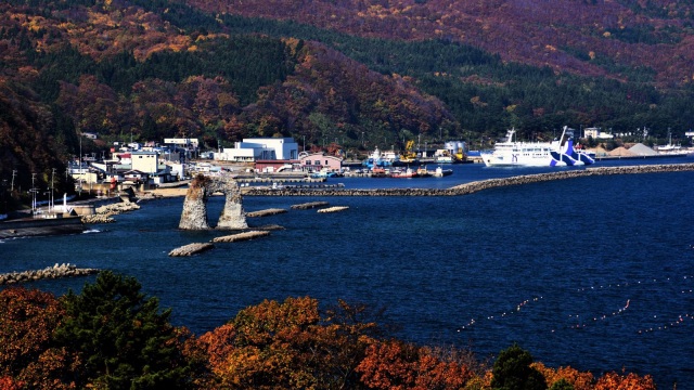
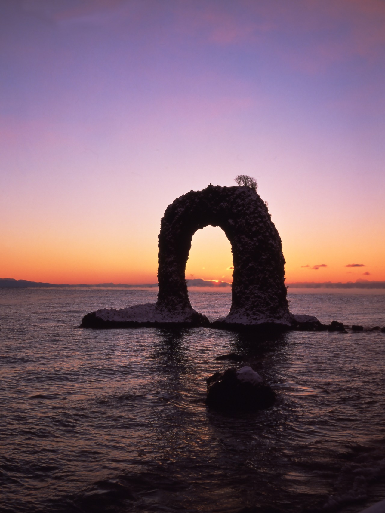
A distinctive natural arch created by underwater volcanic activity and coastal erosion. This iconic symbol of Okushiri Island offers different scenery throughout the day.
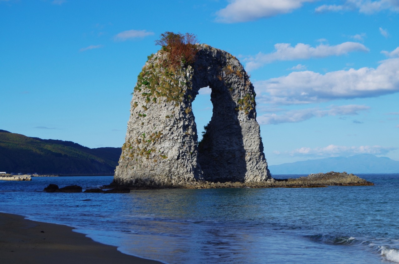
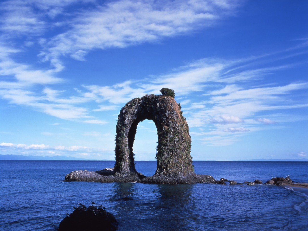
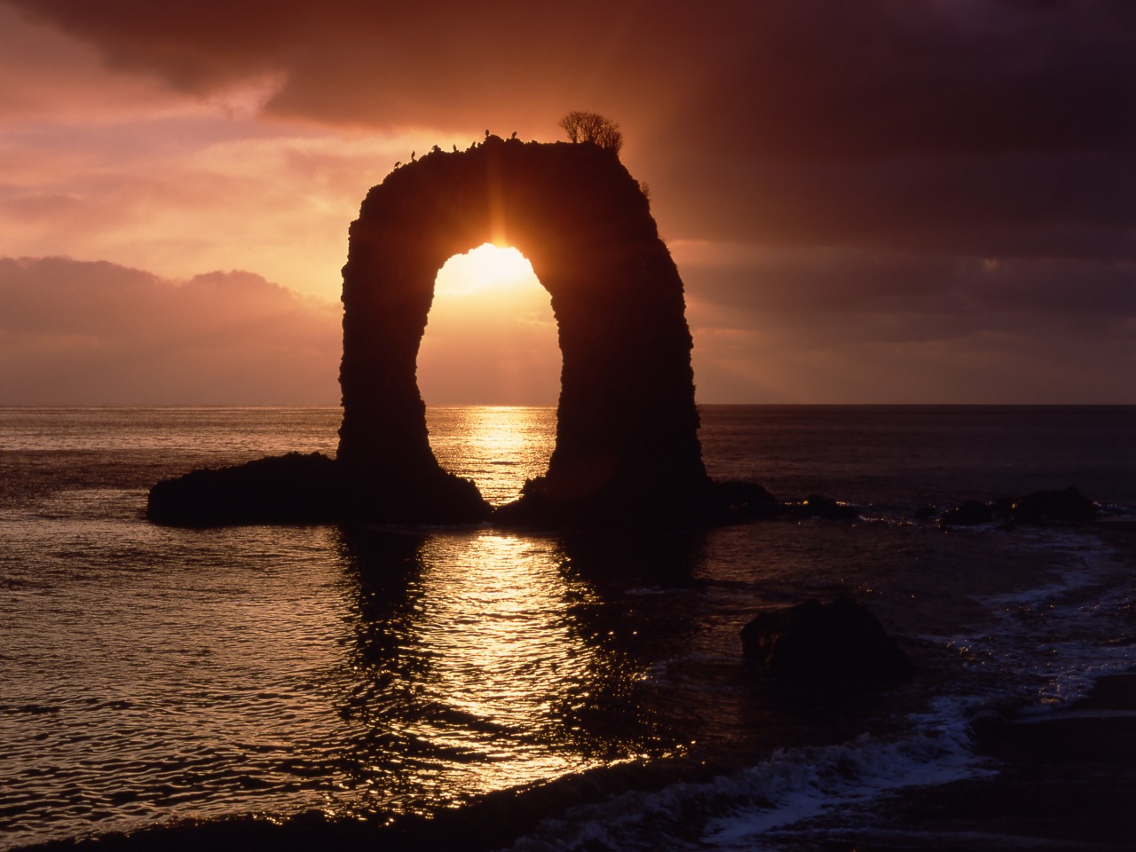
Nabetsuru Rock is one of the most recognizable landmarks of Okushiri Island, named for its resemblance to the handle (tsuru) of a traditional Japanese cooking pot. Formed by underwater volcanic activity and shaped over many years by wind and wave erosion, this natural arch stands approximately 19.5 meters high, creating a striking silhouette against the Sea of Japan.
Visitors can view the rock from a coastal observation point, appreciating its distinctive arch-like shape while listening to the sound of waves along the shore. The top of the rock is also known as a natural habitat for Hiroha-no-hebinoborazu, a rare thorny plant whose name literally means “even snakes cannot climb it.”
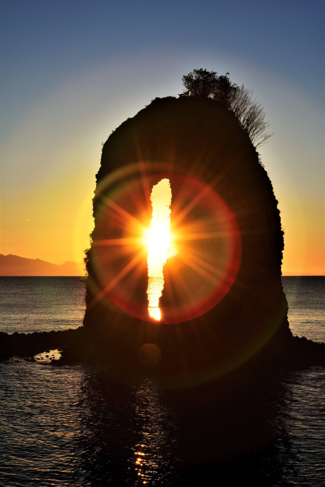
The scenery changes throughout the day. At night, illumination highlights the rock's outline, and under favorable conditions it can be viewed alongside the lights of squid-fishing boats on the horizon. In the morning, sunlight illuminates the arch and surrounding sea, offering a different perspective of this iconic coastal landmark.
- * Please note that the text shown on this page includes machine translations.
- Nearest airports
General Information
- Postal code
- 〒043-1401
- Address
- 北海道奥尻郡奥尻町奥尻
- Telephone Number
- 01397-2-3456(Okushiri Island Tourism Association)
- Car Park
- 10 spaces, free
- Directions
- ●On foot: About 15 minutes from Okushiri Port
●By car: About 25 minutes from Okushiri Airport - Website
- Remarks
- ■Night time illumination
17:00-21:00 (18:00-22:00 Jul. and Aug.)
* Information on facilities is subject to change. Please check each official website for the latest information.