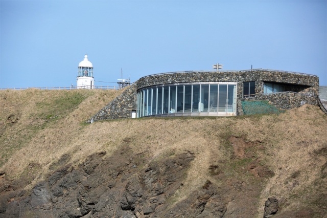
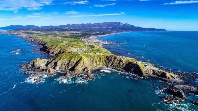
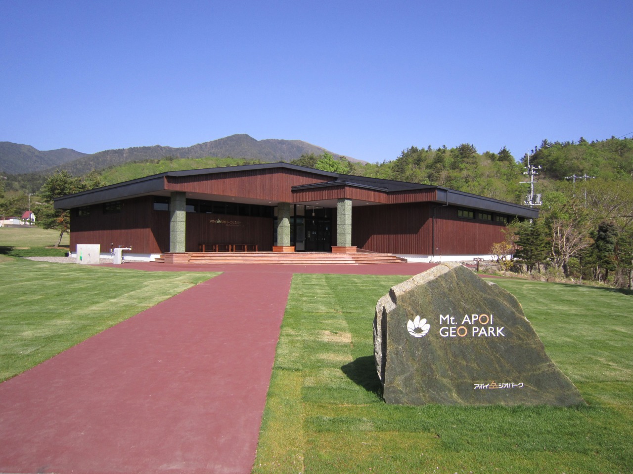
Mt. Apoi Geopark Visitor Center
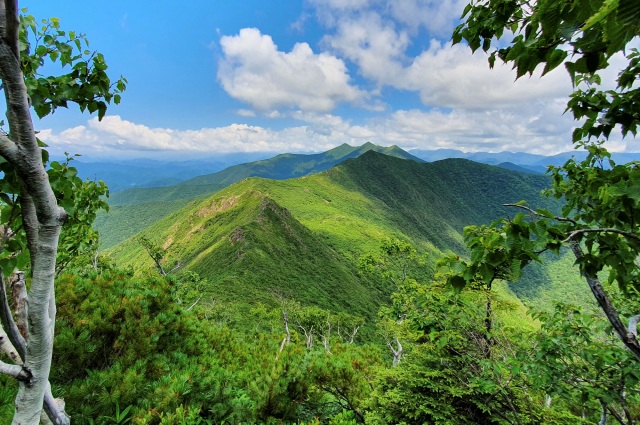
Discover Mt. Apoi's Mantle Rocks and Alpine Landscape
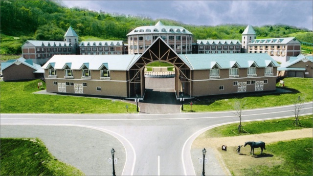
Discover the unique geology, landscapes, and natural heritage of Mt. Apoi through large-scale topographic models, detailed dioramas, and high-definition videos at the Mt. Apoi Geopark Visitor Center.
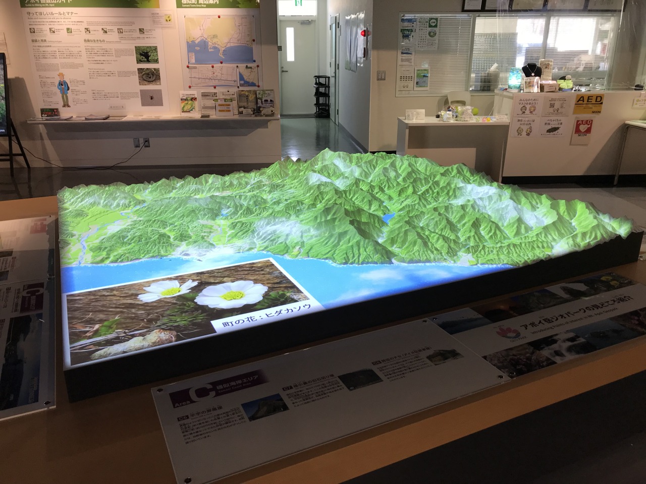
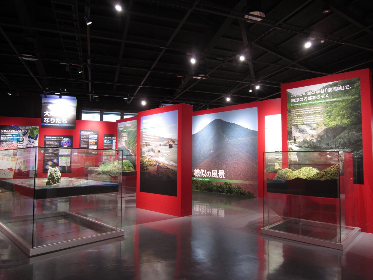
At the entrance, a 3-meter-wide panoramic relief map introduces Samani Town, located at the southern end of the Hidaka Mountains, often referred to as the "backbone of Hokkaido." Inside, a detailed 1:14,000-scale topographic model uses projected Ainu place names and geological maps to illustrate how the landscape was formed.
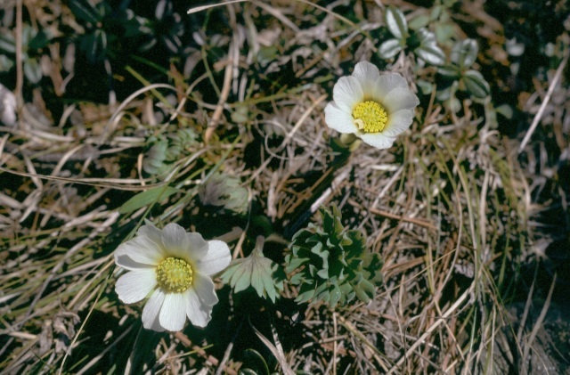
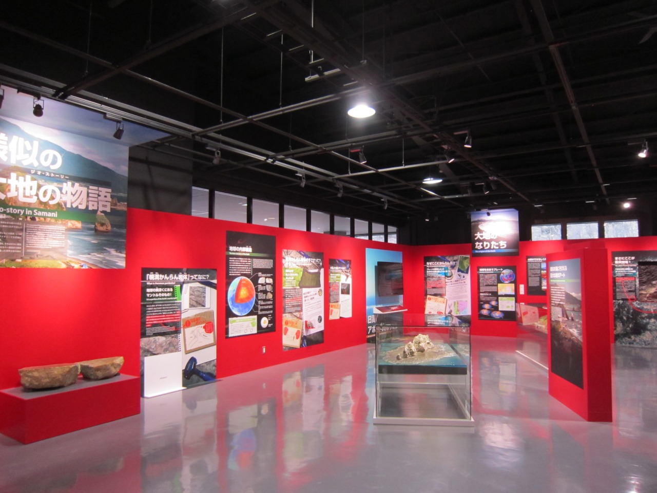
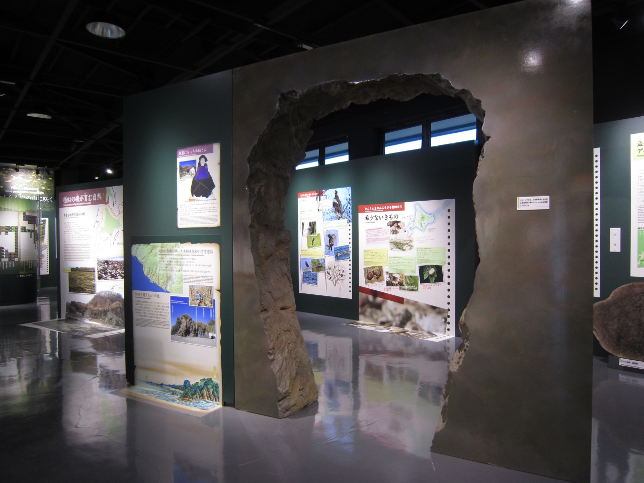
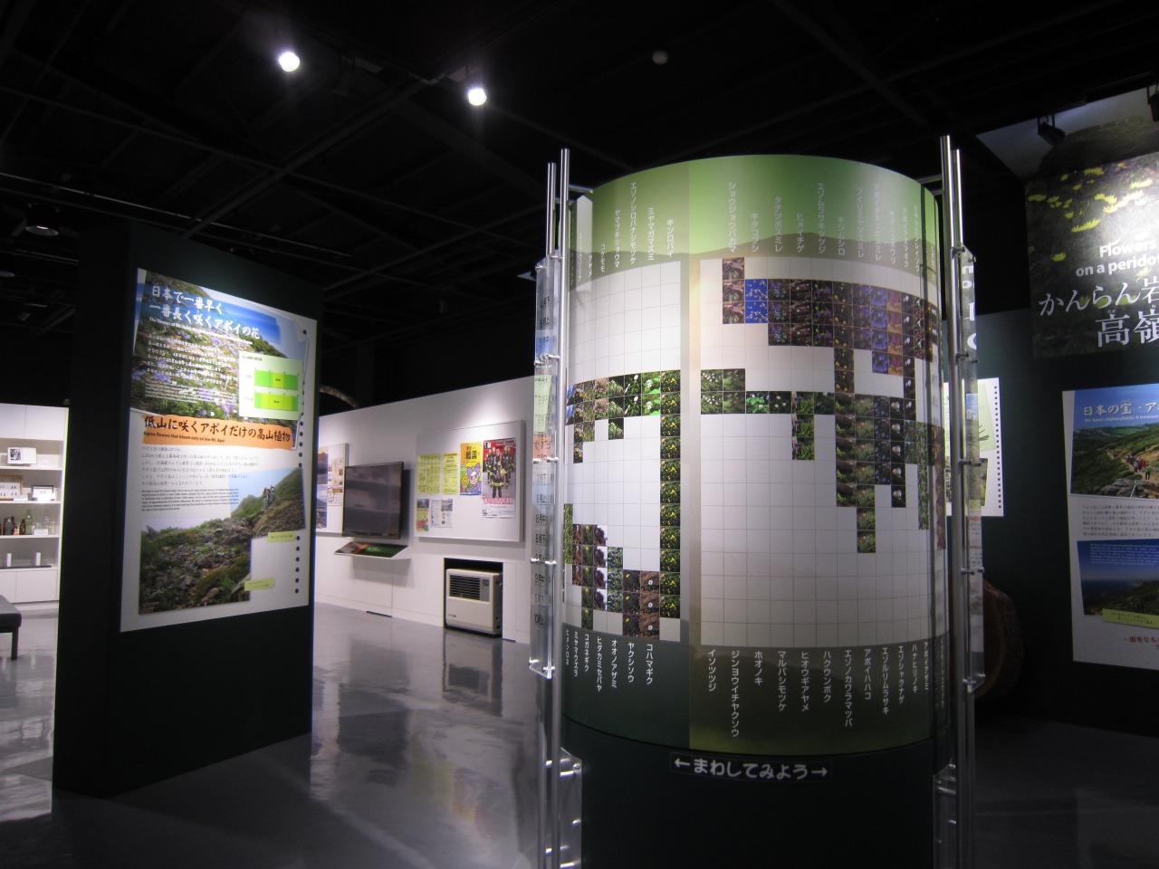
The Earth Science Zone, marked by its distinctive red theme, explains the origins of the Horoman peridotite—one of the world's rare exposures of rock from the Earth's mantle. In the Nature, History, and Industry Zone, a 4-meter-wide diorama recreates Mt. Apoi's alpine flora while introducing the region's history, culture, and industries.
Visitors can also check real-time trail information and brown bear activity before exploring the mountain. Before leaving, enjoy seasonal scenery on a 60-inch high-definition screen. Together with the interpretive exhibits and guided explanations, the center offers an excellent introduction to the unique geology, nature, and cultural history of the Mt. Apoi Geopark.
- * Please note that the text shown on this page includes machine translations.
- Nearest airports
General Information
- Postal code
- 〒058-0004
- Address
- 北海道様似郡様似町字平宇479-13
- Telephone Number
- 0146-36-3601
- Open
- 9:00-17:00 (April - October)
- Closed
- Open every day during the season (April-October)
- Prices
- Free admission
- Car Park
- 40 spaces, free
- Directions
- ●By car: About 90 minutes from Hidaka Expwy Niikappu IC
●By car: About 90 minutes from Obihiro-Hiroo Expwy Churui Taiki IC - Website
- Remarks
- You can apply for the experience program from the official site.
* Information on facilities is subject to change. Please check each official website for the latest information.